
July 3, 2024 – Our sail began northbound on the flood tide. As we approached the Wasp Islands we heard a report of Biggs/Transient orcas known as the T65B’s moving NE from Smith Island toward Rosario Strait. We came over the top of Shaw Island and through the cut by Spencer Spit and down into Lopez Sound. We met the whales coming through Lopez Pass, however they quickly flipped around and headed back out against the flood current. Sailed alongside and watched as they took the pass between Decatur and James Island. The whales continued northbound in Rosario while we followed the Blakely Island shoreline to Peavine Pass and sailed home.
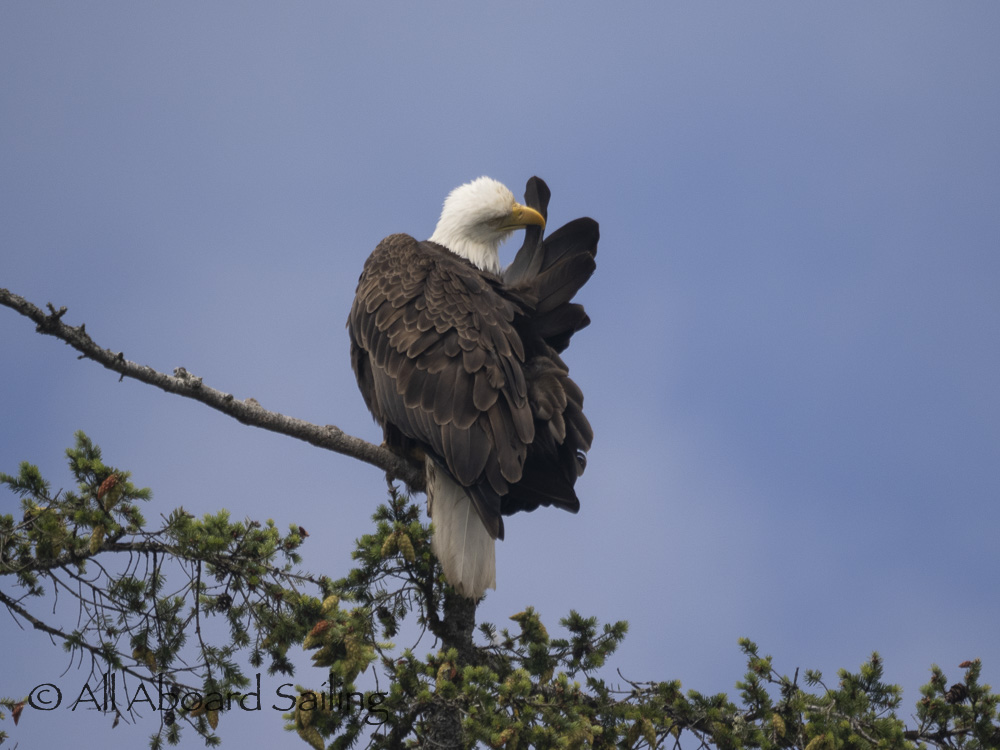
Bald eagle grooming
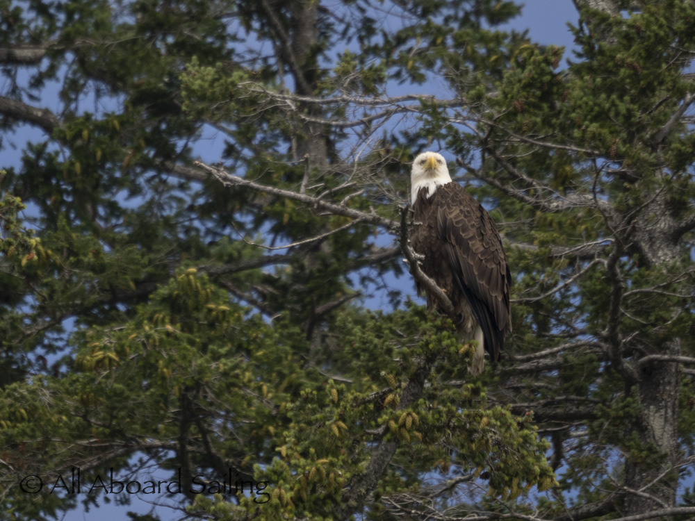
Bald eagle, San Juan Islands
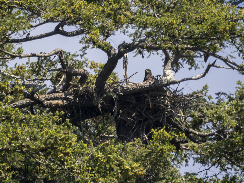
Bald eaglet in nest on Cliff Island
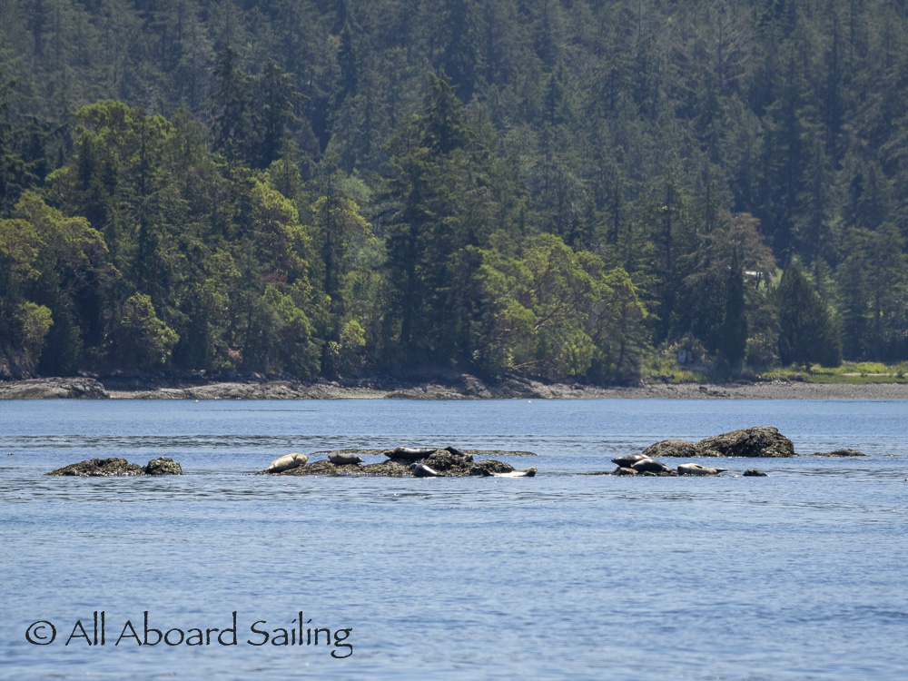
Harbor seals on the rocks
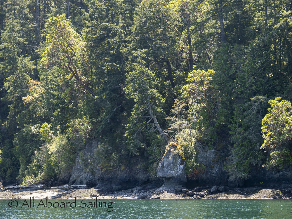
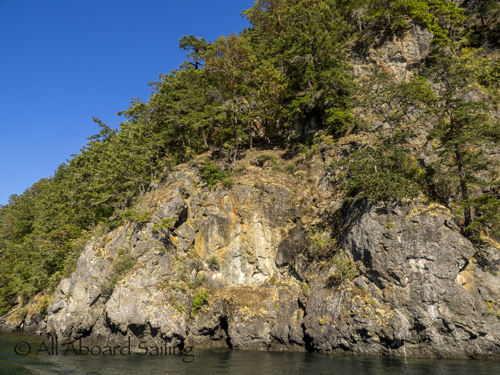
Shaw Island coastline
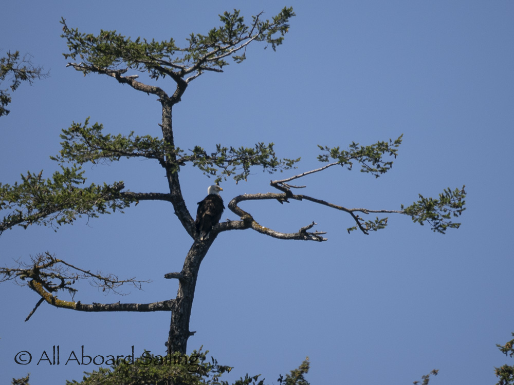
Bald eagle, Shaw Island
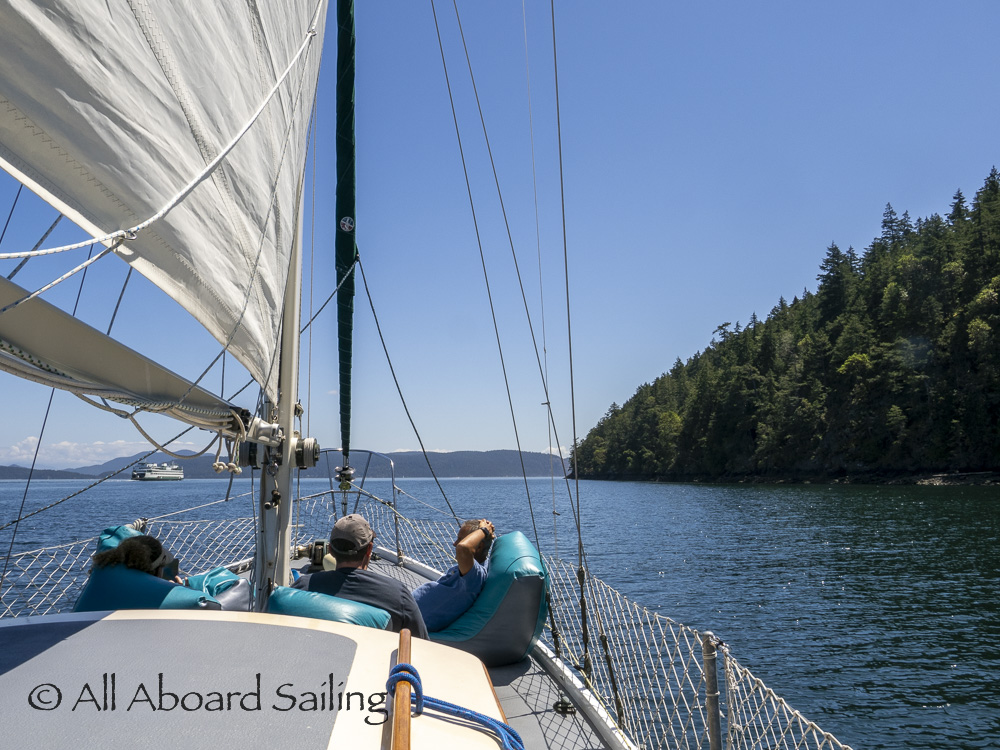
Sailing towards Upright Head
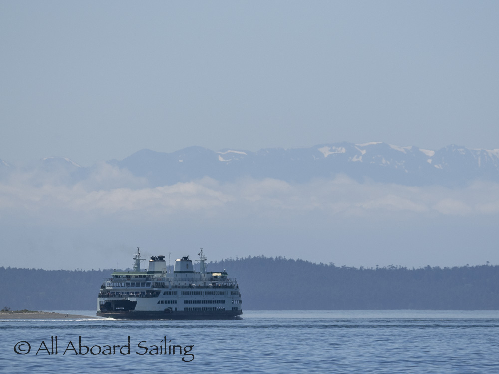
Ferry near Flat Pt with Olympic Mountains
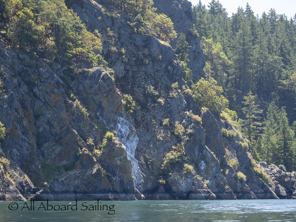
Lopez coastline by Humphrey Head
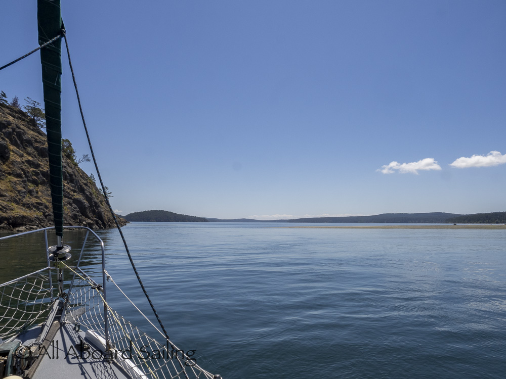
Sailing through the gap by Spencer Spit State Park
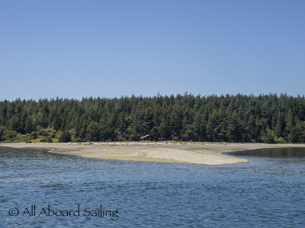
Spencer Spit State Park
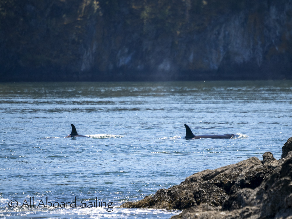
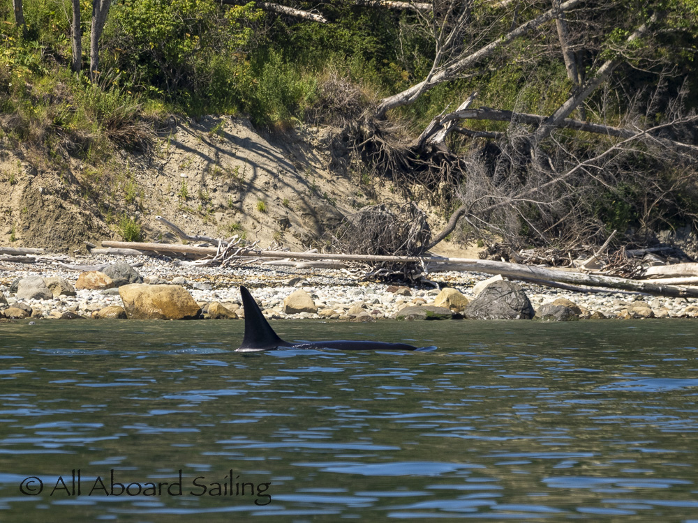
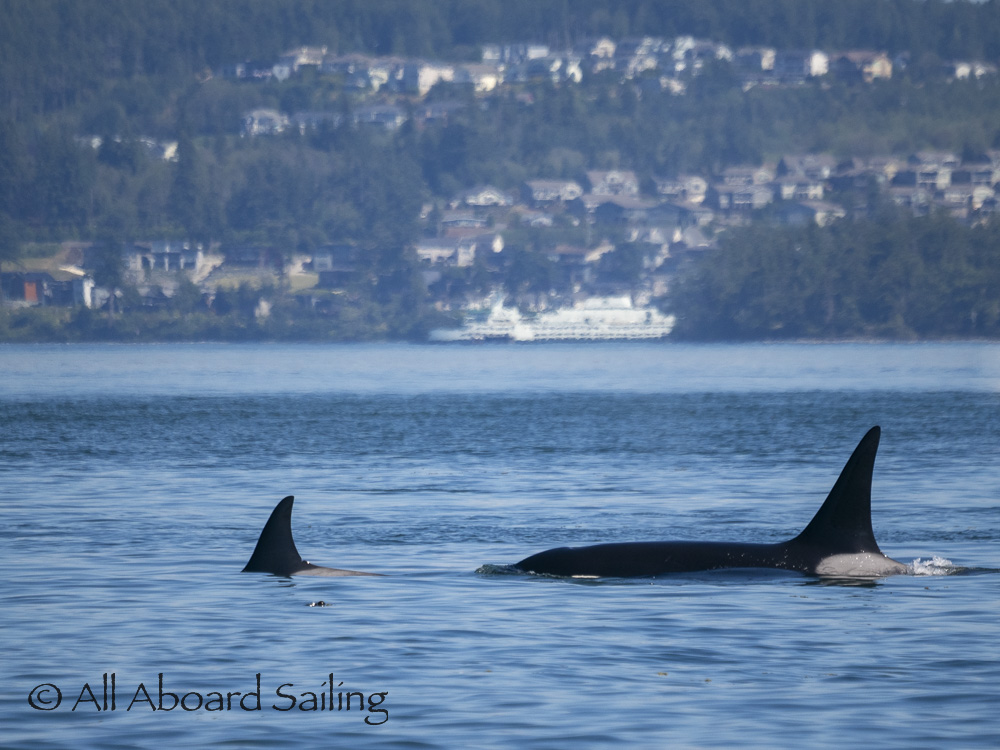
Biggs/Transient orcas T65B’s came in through Lopez Pass
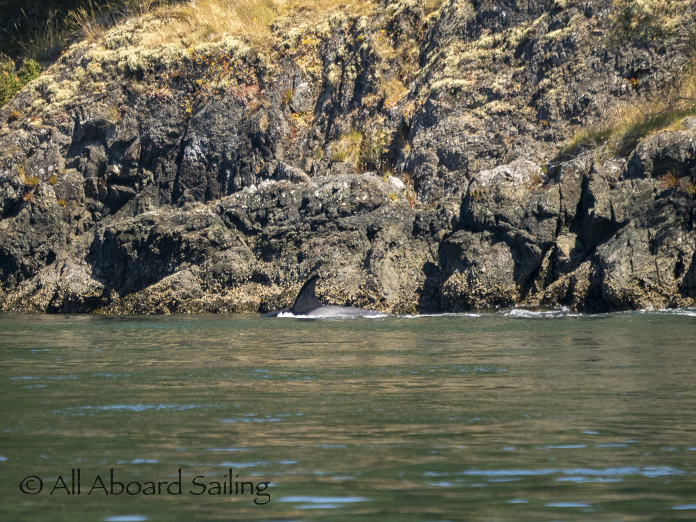
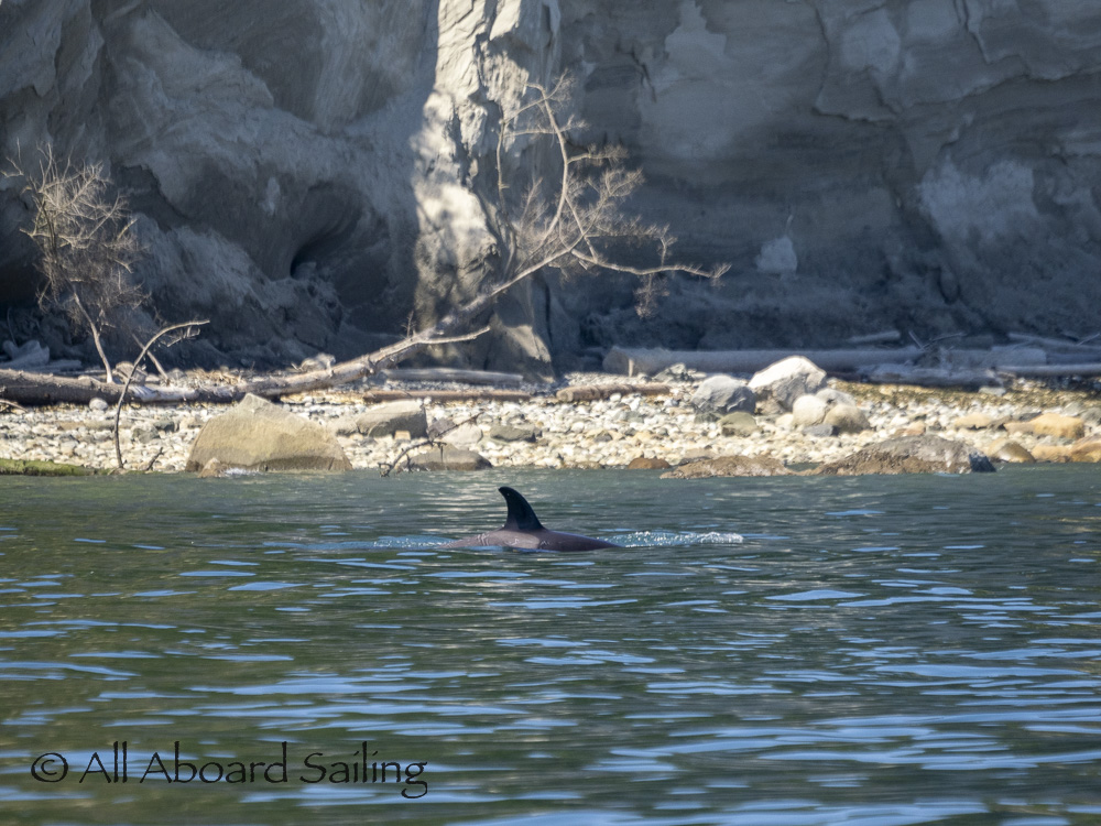
Biggs/Transient orcas T65B’s headed out Lopez Pass
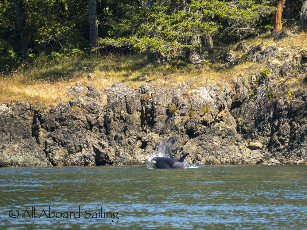
Biggs/Transient orcas T65B’s headed out Lopez Pass
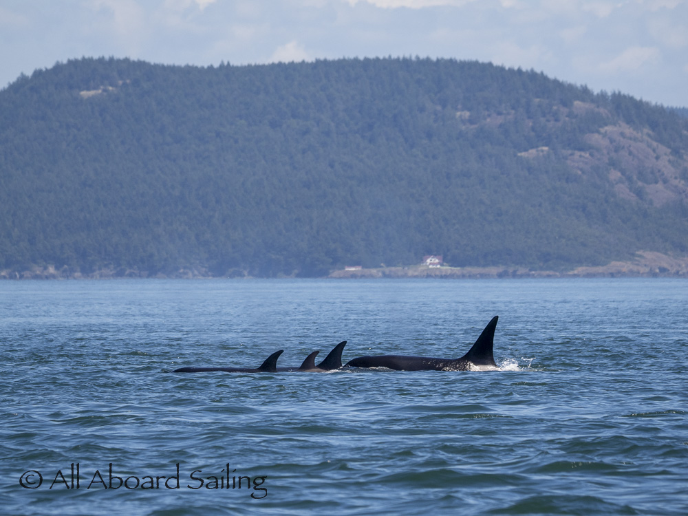
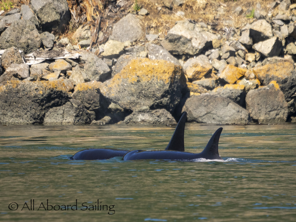
Biggs/Transient orcas T65B’s northbound Rosario Strait
Biggs/Transient orcas T65B’s northbound Rosario Strait east side of Decatur Island
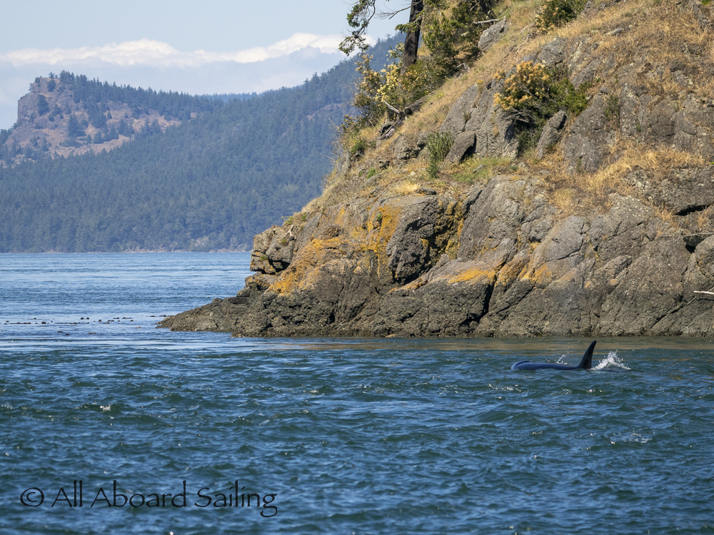
Biggs/Transient orcas T65B’s northbound Rosario Strait east side of Decatur Island
Biggs/Transient orcas T65B’s northbound Rosario Strait east side of Decatur Island
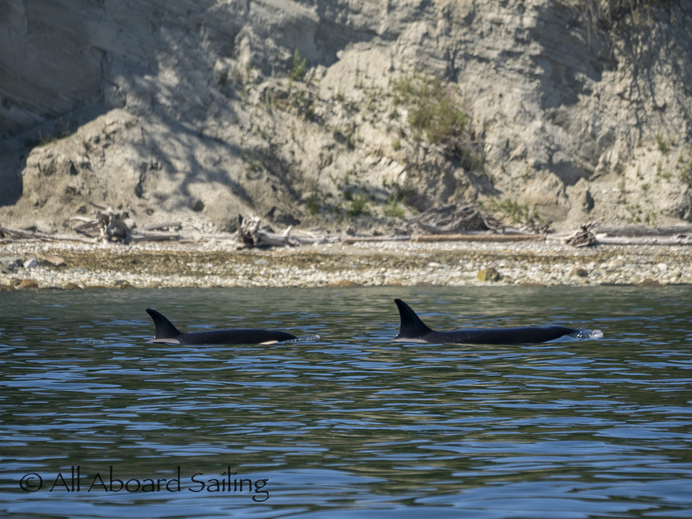
Biggs/Transient orcas T65B’s northbound Rosario Strait east side of Decatur Island
Biggs/Transient orcas T65B’s northbound Rosario Strait east side of Decatur Island
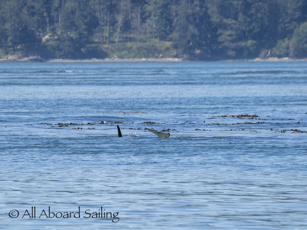
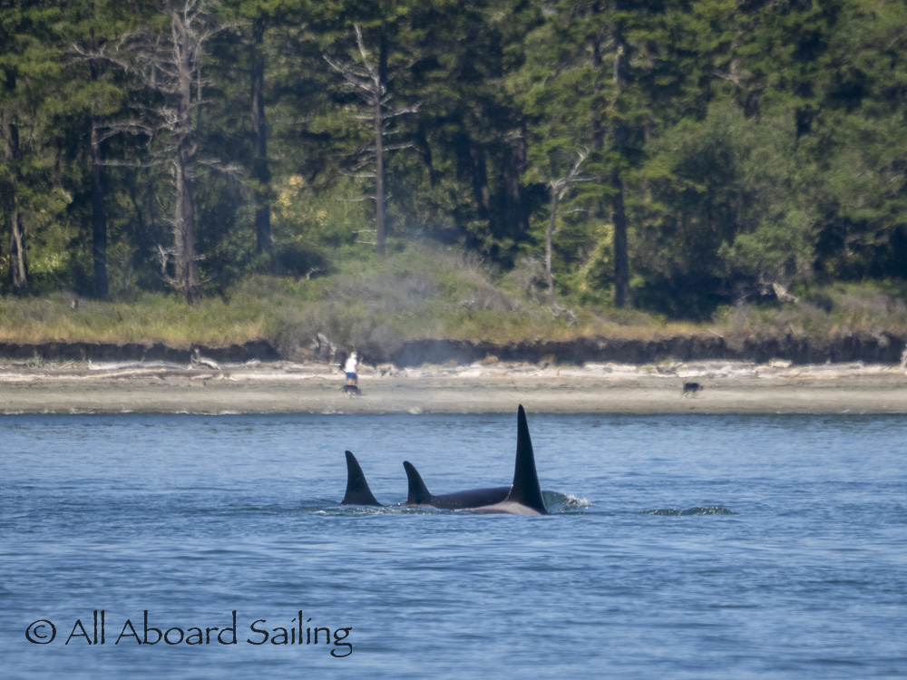
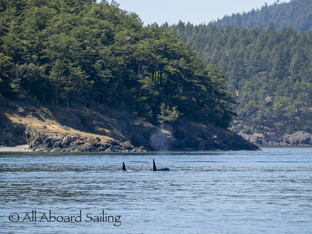
Biggs/Transient orcas T65B’s stop to explore the kelp bed near James Island
Biggs/Transient orcas T65B’s passing James Island, Rosario Strait
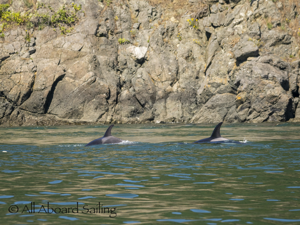
Biggs/Transient orcas T65B’s passing James Island, Rosario Strait
Biggs/Transient orcas T65B’s passing James Island, Rosario Strait
Biggs/Transient orcas T65B’s with Anacortes in the distance

Black oystercatchers with a chick
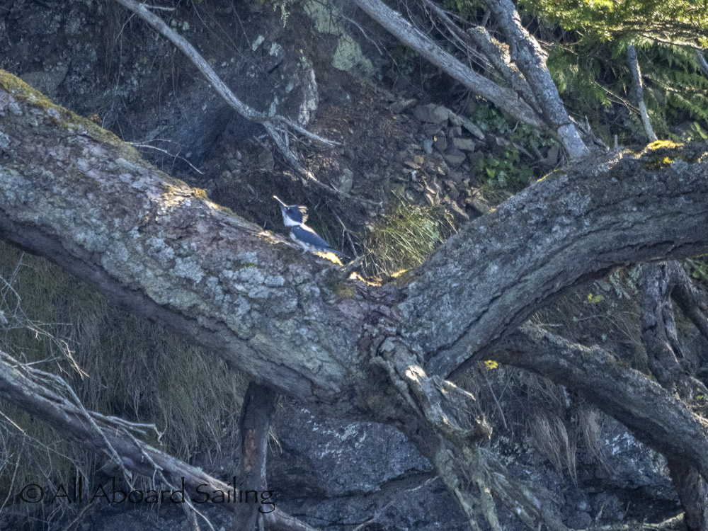
Belted kingfisher
Lopez Island coastline
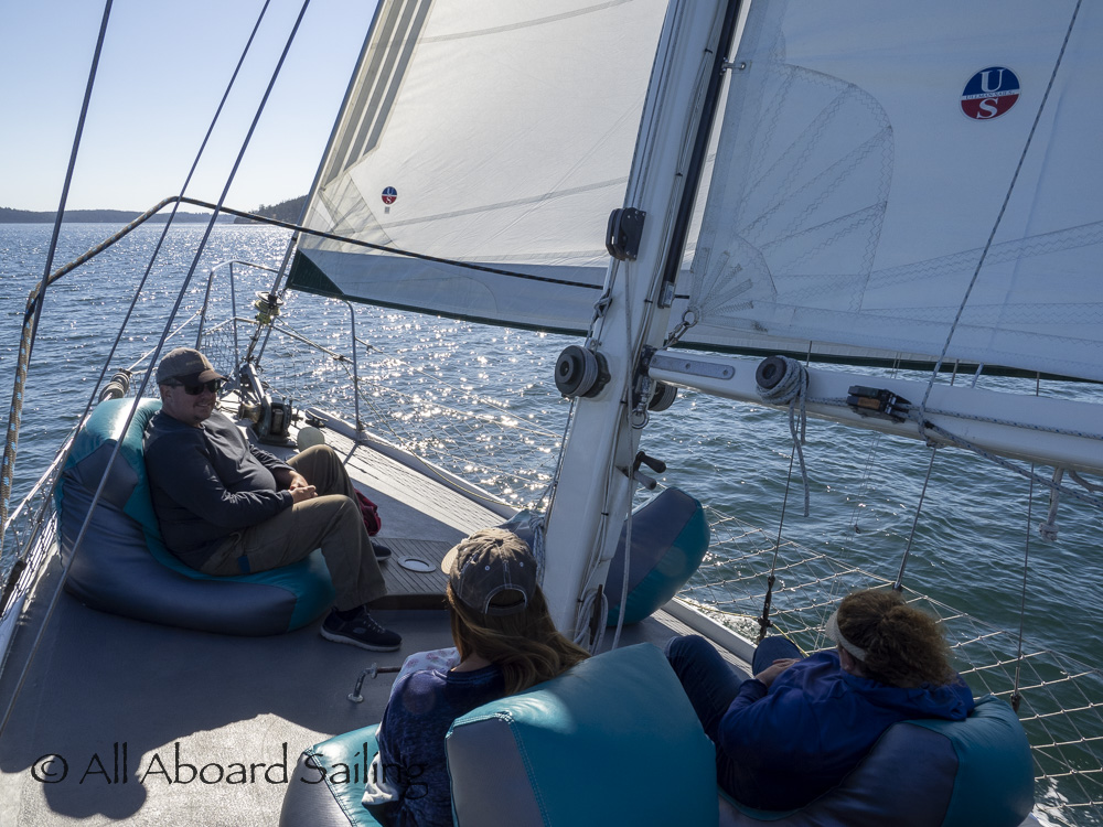
Close-hauled sail back to Friday Harbor
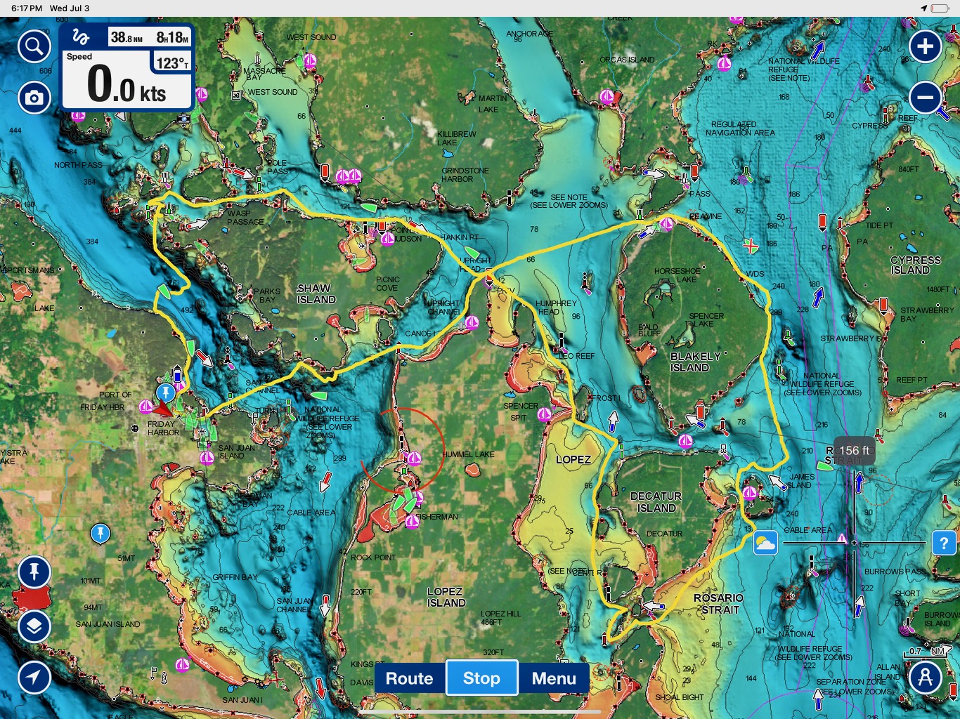
Route map 7/3/24